Show HN: Point your camera at a landscape to learn about its geology
Point your camera at the landscape around you to learn about its geology: what its rocks are called, when and how each one formed, and where the continents were at the time. Works offline.
Free, for iPhone and Android. Geologic maps worldwide from Macrostrat.
Earth’s history#
Outcrop shows where a rock’s age falls in Earth’s 4.5 billion years.
- Cenozoic 66–0 Ma
- Mesozoic 252–66 Ma
- Paleozoic 539–252 Ma
- Precambrian 4540–539 Ma
Hover over or tap the line to read a period or an event.
Geologic maps in augmented reality#
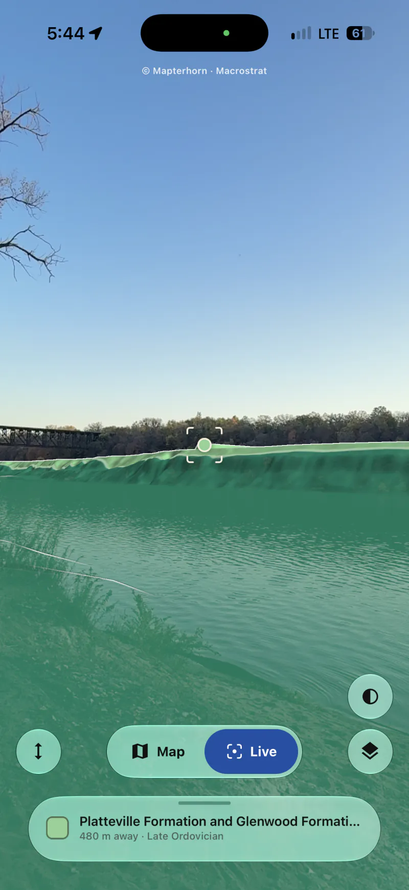
Hold your phone up to a canyon wall, a road cut or a far ridge. Outcrop lays the geologic map over the land, names the rock at the center of the screen and labels the peaks and lakes in view. Pick a rock and the land keeps it in color, the rest gone grey.
Know what’s under your feet.#
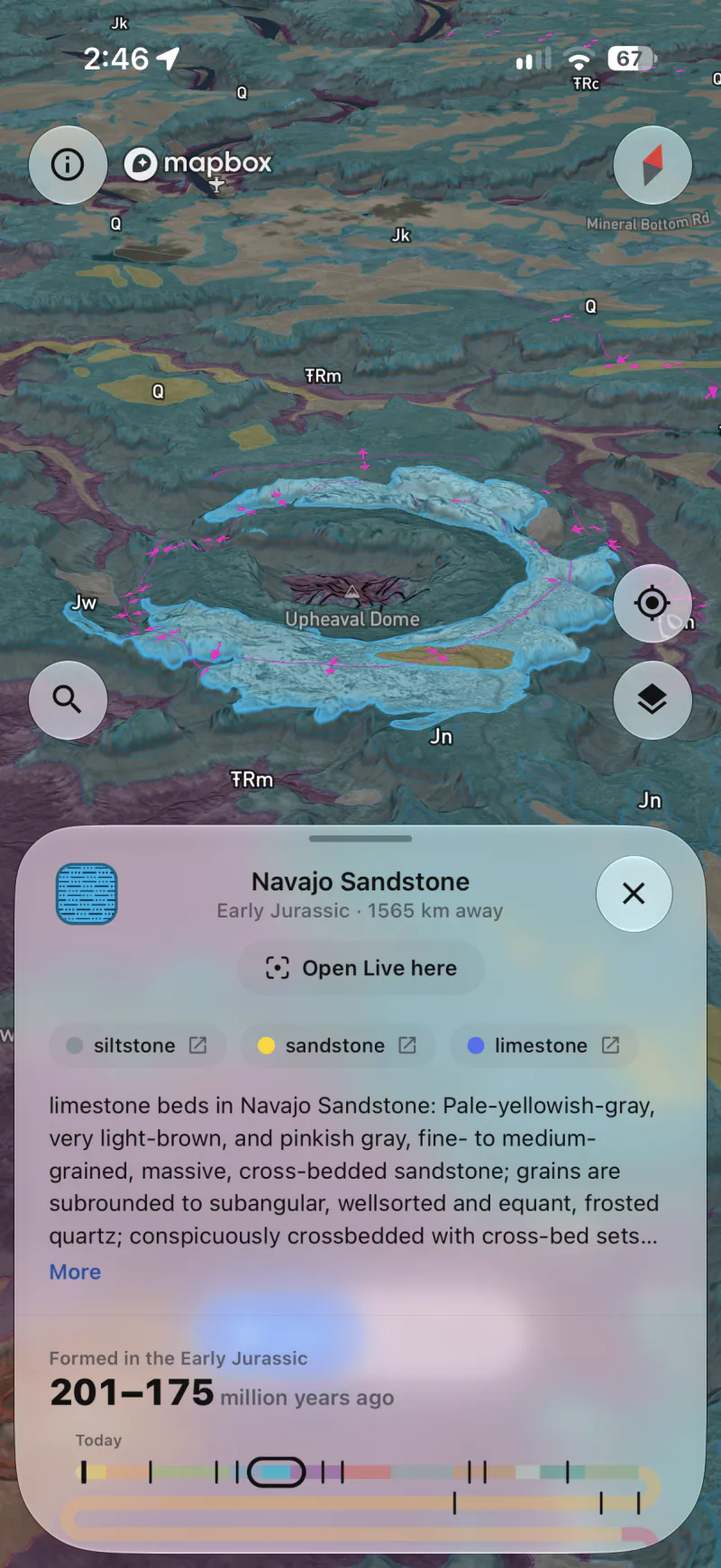
The map opens on the rock where you’re standing: its name, its age, what it’s made of and how it formed. Tap anywhere else to read that spot instead.
Read the rock below.#
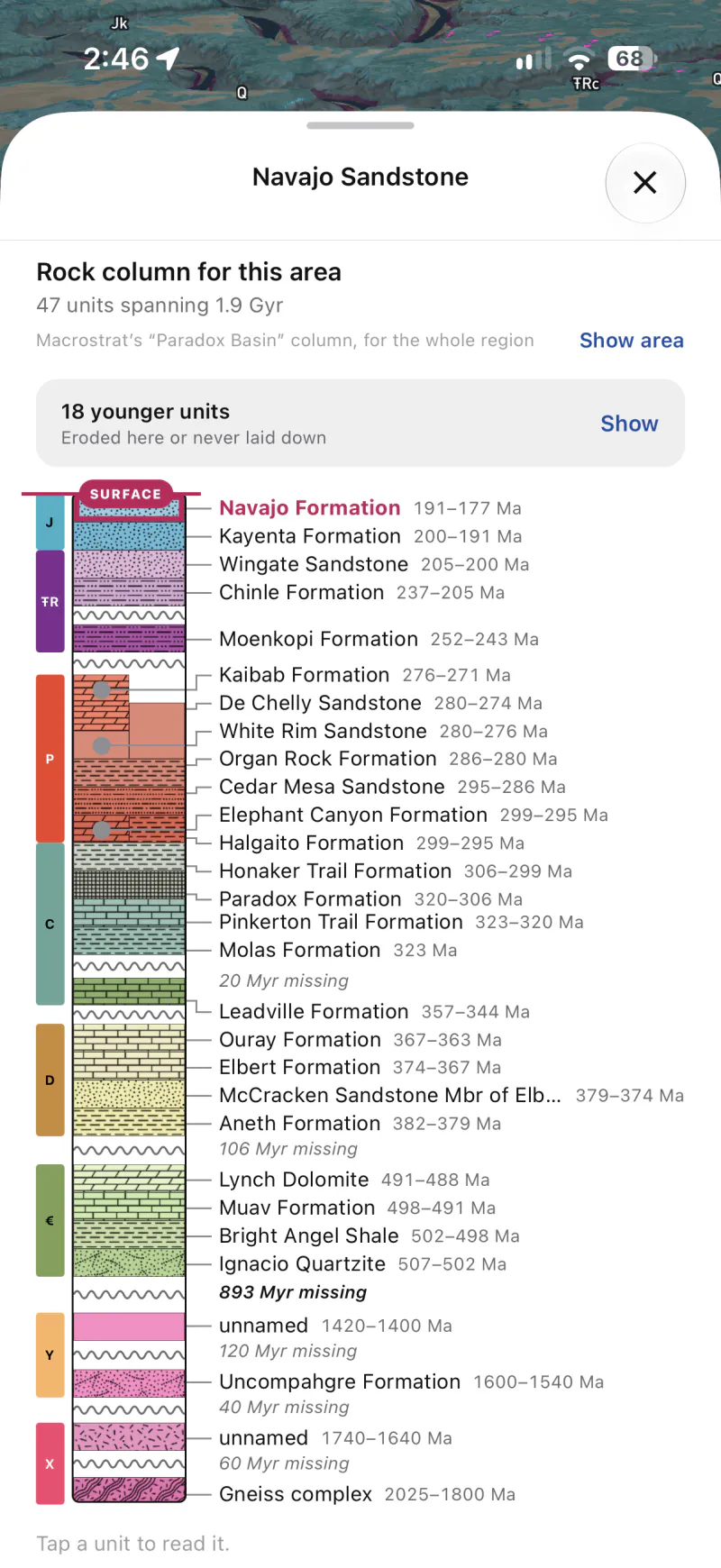
Where Macrostrat has a column for the spot, see the rock beneath it from the surface down: each unit with its age, each gap with the time it leaves out, and the fossils found in them. Tap a unit to read about it.
See where it formed.#
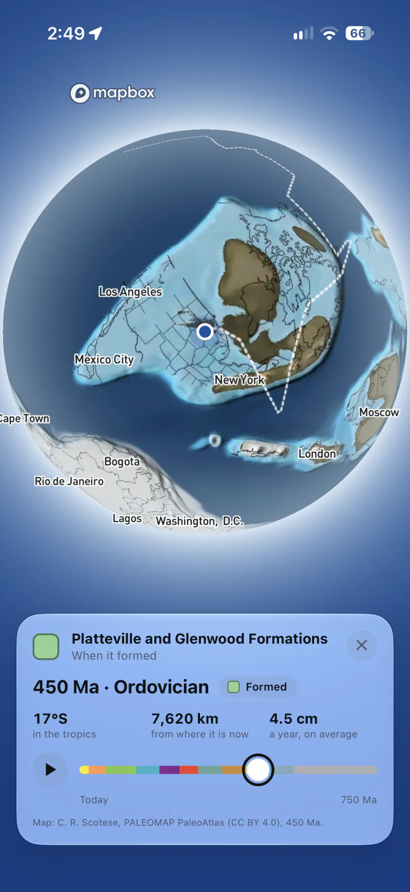
Turn the map into a globe at the rock’s age, drawn from Christopher Scotese’s PALEOMAP maps: where it lay, how far it has come and how fast. Press play to ride its plate to today.
Find any rock.#
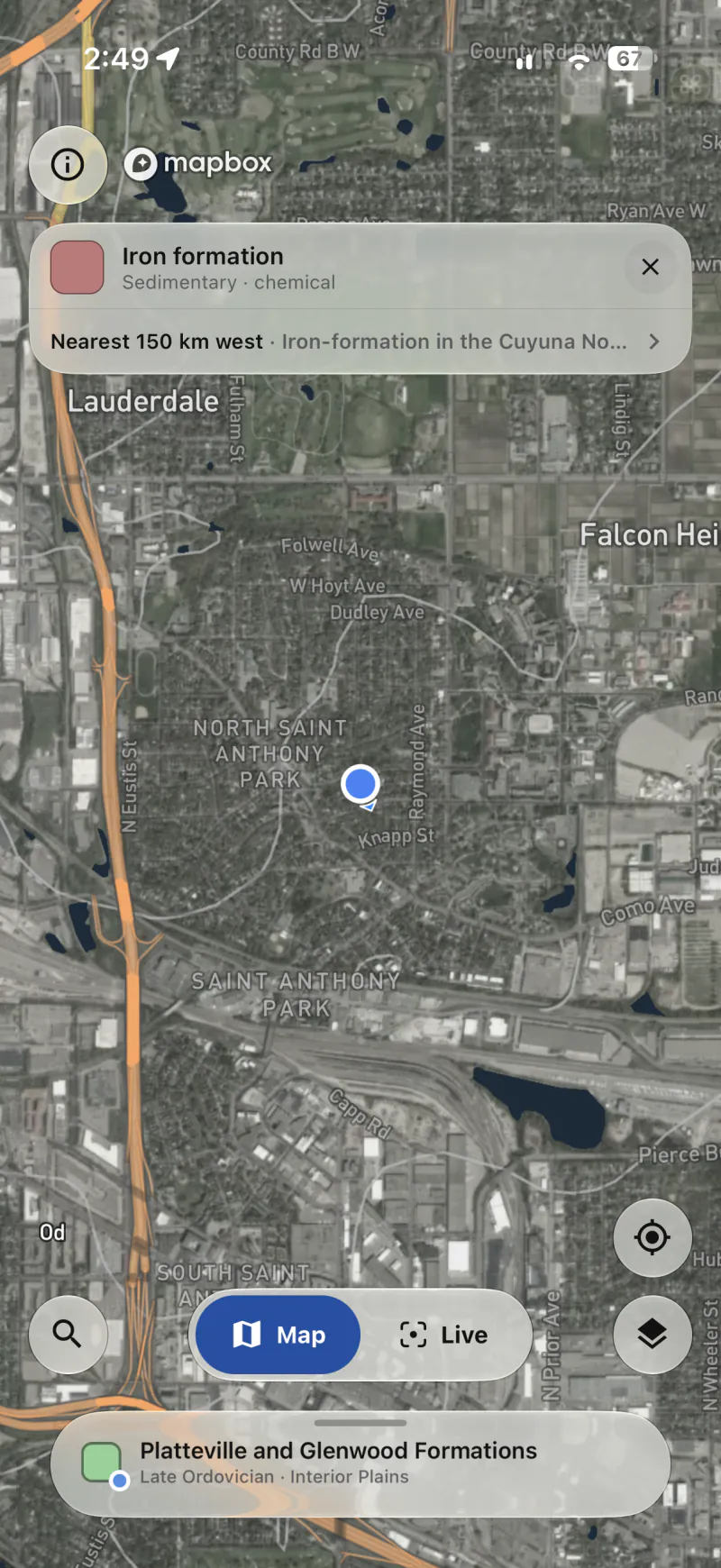
Search for a unit, an age, a rock or a fault. The map lights the places it’s mapped and tells you how far the nearest is, even when it’s off the screen.
From bedrock to topsoil.#
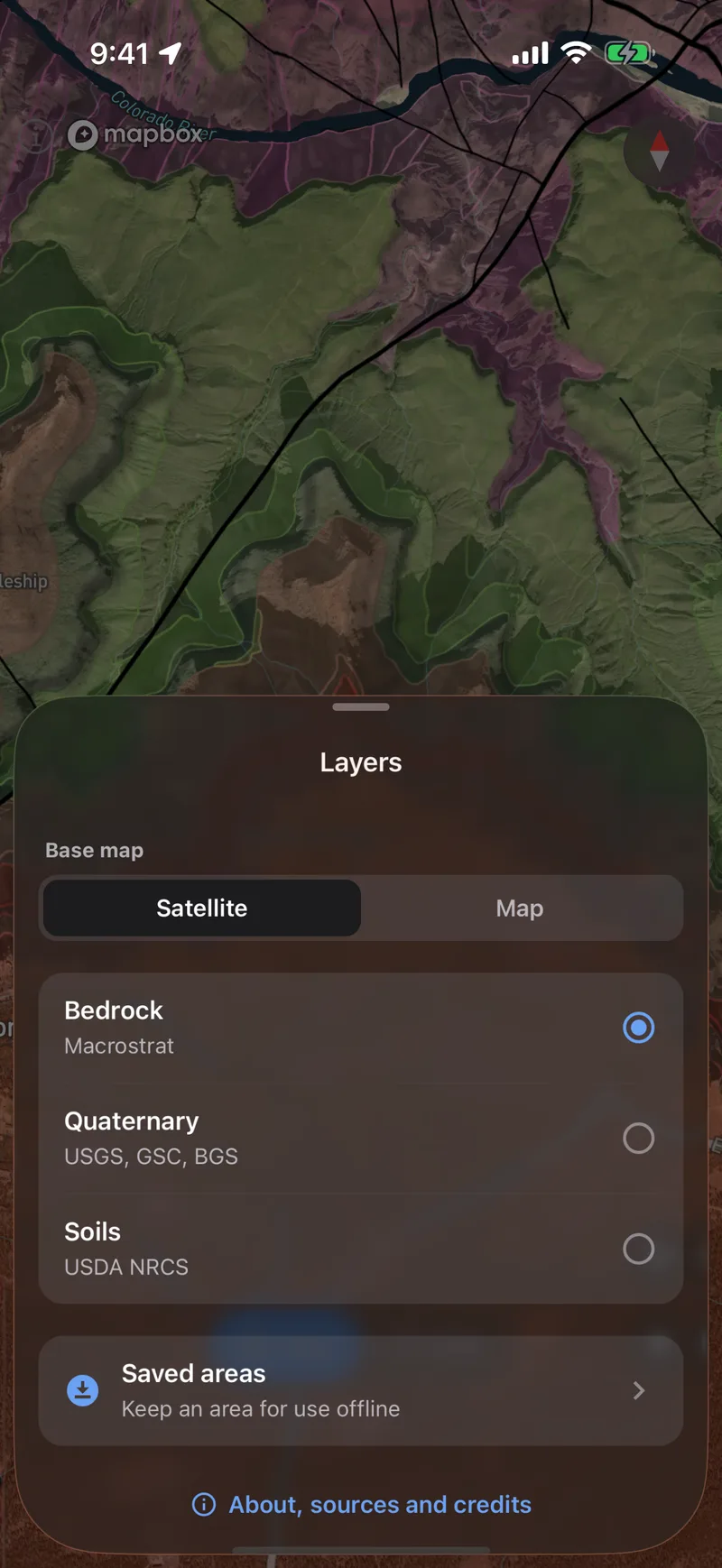
Read the bedrock and its faults from Macrostrat’s geologic maps, in as much detail as each place has been mapped. Switch to Quaternary geology for the glacial and river deposits on top and the faults that have moved recently, or to the soil and the plants that grow in it. On the map and through the camera.
- Bedrock and faults worldwide
- Quaternary, active faults and soil in the US
Save it before you go.#
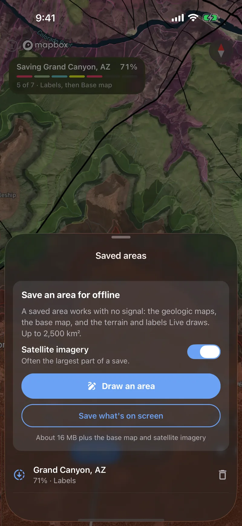
Outline an area to save it to your phone. The map and the camera view then work with no signal. Fossil finds and active faults in the camera view still need a connection.